In case a citizen does not submit an ownership declaration during the cadastral survey procedure, their property is registered in the Hellenic Cadastre flagged to belong to an “UNKNOWN OWNER”. Provided the beneficiary holds official legal deeds, he/she can request the correction of the relevant registration even after the completion of the cadastral survey, but for a limited time frame, Moreover, deadlines for requests vary between five (5) to fourteen (14) years, according to property region and start of Cadastre for that region.
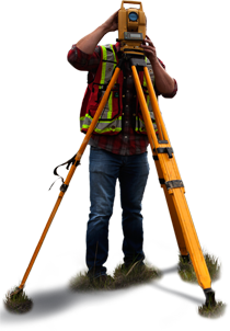
 Land Surveyor servicesmethodicalness, accuracy and liabilityMulti years experience
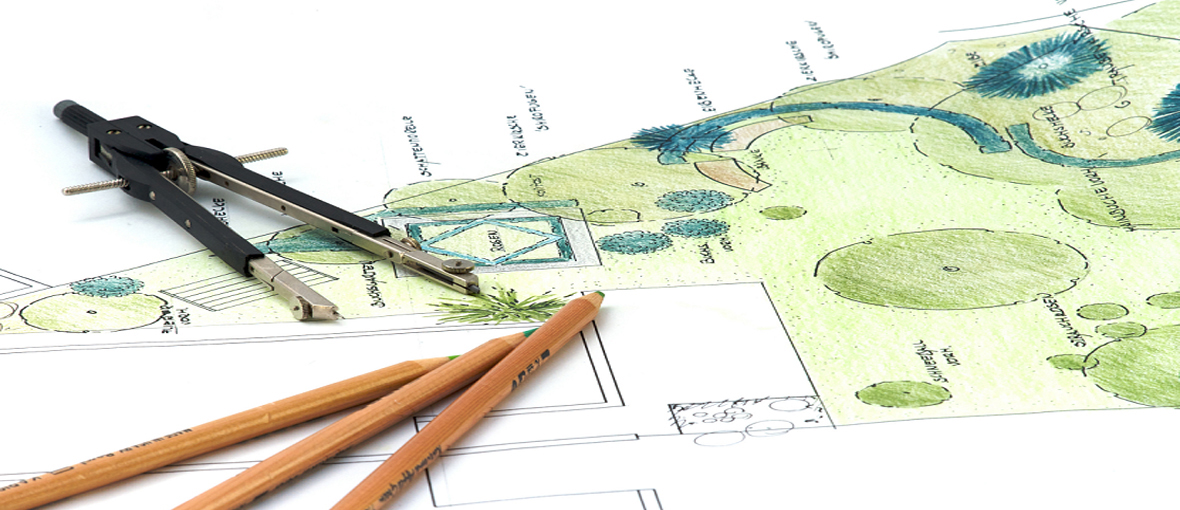
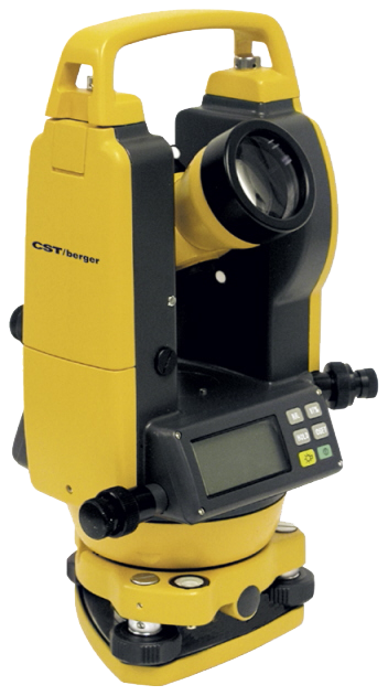 State-of-the-art equipmentHigh accuracy topographic layouts
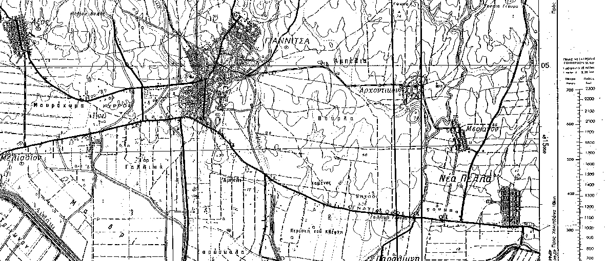 Full coverage of Pella region.Ability to serve customers' requests